In the face of advancing climate change, we need to monitor and understand the various sources and sinks of greenhouse gases worldwide in real time. One way to achieve this is to regulate and monitor man-made methane emissions. Laser systems, as developed by researchers at Fraunhofer ILT, offer ways to do this. They are at the heart of LIDAR instruments and can accurately determine greenhouse gases in the atmosphere with high spatial and temporal resolution, even from great distances.
The summer of 2024 was by far the warmest since records began. Next to carbon dioxide, methane is one of the main causes of global warming. As a greenhouse gas, methane is more than 25 times more active than carbon dioxide.
Recording and monitoring concentrations
While it is largely known how methane enters the atmosphere, it is usually unclear where and when this happens and to what extent. It is therefore important to accurately record and monitor the concentration of greenhouse gases in the atmosphere. So far, methane from space has only been measured passively, via sunlight absorbed by this gas in the atmosphere. From the absorption, researchers can then calculate the concentration. However, this method only works during the day and its accuracy is limited.
LIDAR system
Alternatively, a LIght Detection And Ranging (LIDAR) system can directly determine methane concentration. The LIDAR system uses lasers with two wavelengths around 1645 nm to make the measurement independent of external factors, such as the highly fluctuating reflectivity of the Earth's surface. To do this, it measures the light absorption of the atmosphere at wavelengths with maximum and minimum methane absorption. The methane concentration in the air column in the measurement path is calculated by comparing the measured values.
LIDAR measurement by helicopter
An already well-known application of LIDAR technology for determining local methane concentrations is pipeline surveys. Natural gas consists of about 85 per cent methane. Any leak during exploration or transportation is therefore a source of methane. This is not only harmful to the climate, but also poses an acute explosion hazard. Therefore, operators check pipelines, compressor stations and other facilities for methane leaks. The company Adlares from Teltow near Berlin has implemented the CHARM method (CH4 Airborne Remote Monitoring) for this purpose. This allows them to measure methane concentrations by helicopter flight.
To measure is to know
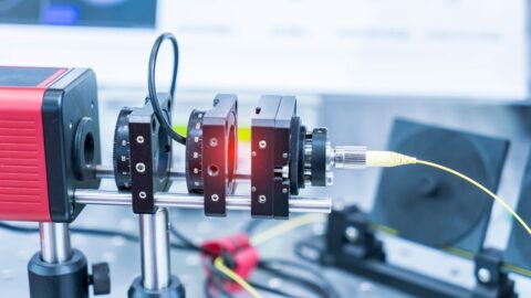
The helicopter flies at speeds of up to 180 km/h at an altitude of 100 to 150 metres. This high speed also allows for a high measurement rate of 1,000 measurement points per second. This allows researchers to record leaks from 150 l/h at wind speeds of up to 24 km/h. A team from the Fraunhofer Institute for Laser Technology ILT in Aachen developed the beam source for the LIDAR system. In its second CHARM generation, it contains two diode-pumped Nd:YAG lasers with a particularly narrow linewidth. Adlares supplied an optical parametric oscillator that converts the wavelength of the laser from about 1 µm to the mid-infrared at 3.3 µm.
10,000 kilometres
Meanwhile, the helicopter has not only traversed 10,000 kilometres of pipelines with the LIDAR system. It also examined emissions from landfills, wastewater treatment plants, coal mines and farms. The system is so sensitive that it can even measure the fumes from a single cow.
Mapping the Earth's atmosphere with a satellite
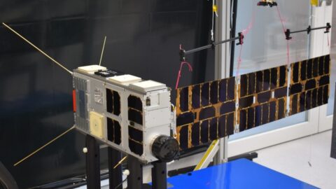
Individual plants can be quickly monitored by helicopter. But this approach is too expensive and slow for a global search for methane sources. For example, when permafrost thaws, it can emit methane in low concentrations over vast areas. That is why the German and French space agencies planned the MERLIN mission (Methane Remote Sensing LIDAR Mission) a few years ago. A satellite is to measure and map methane concentrations in Earth's atmosphere from an altitude of about 500 kilometres. On board the satellite is a LIDAR instrument with a laser beam source from the Fraunhofer ILT in Aachen.
Industrial companies and research institutes
The technologies for the LIDAR instrument of the MERLIN mission were designed and developed by a consortium of German industrial companies and research institutes. Scientific responsibility lies with the LIDAR department of the DLR Institute for Atmospheric Physics (IPA) in Oberpfaffenhofen.
Long-term research
Fraunhofer ILT has been developing technologies for such space-qualified laser systems for years for partners such as DLR, Airbus Defence and Space, TESAT Spacecom and ESA. The Aachen-based organisation has now developed a complete production technology for this purpose. Components manufactured in this way can withstand the stresses of launch and use in space.

Features LIDAR system
The laser at the core of the LIDAR system must be able to withstand shocks of up to 300g and vibrations of up to 25g, as well as varying thermal loads from -30°C to +50°C. The developers must also avoid organic materials such as glue as much as possible so as not to contaminate the high-purity mirror surfaces. And of course, the laser must function maintenance-free and without degradation for the mission duration of more than three years.
Future technology LIDAR
ESA sees LIDAR systems as an important future technology with great potential for the further development of global weather models. For one thing, they can significantly improve weather forecasting, with a particular focus on disaster management. With the increasing number of extreme weather events due to climate change, the need for early warning and rapid action is also increasing. On the other hand, with the expansion of renewable energy sources, there is an increasing need for accurate forecasts of local wind conditions and sunshine hours. The greater the share of volatile energy sources, the more important it is to have targeted control and monitoring of grid infrastructure.
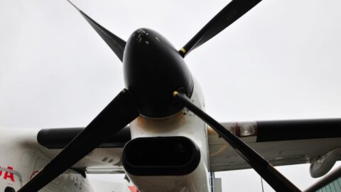
Opening photo: The helicopter equipped with the LIDAR system has already flown tens of thousands of kilometres to check pipes for leaks (photo: Fluxys, Avenue des Arts 31, B-1040 Brussels / Photo Fluxys Belgium - David Samyn)
See also: ESA deploys Dutch TANGO satellites to monitor greenhouse gas emissions