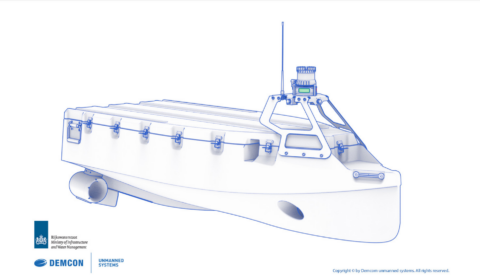
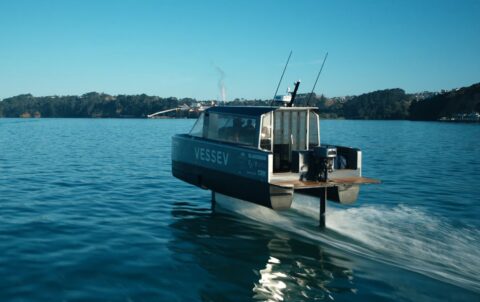
Saildrone, a manufacturer of water drones, has presented a larger and improved version of its unmanned craft. This recently introduced 22 m Saildrone Surveyor is equipped with hardware that maps the seabed of oceans. This will allow more knowledge of the underwater environment to be built up.
Wind and solar power
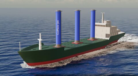
Earlier, an Australian research team signed an agreement to use Saildrones to explore the Southern Ocean. These are propelled by wind, but use solar energy as a power source for on-board electronics such as navigation systems and marine and atmospheric sensors.
This combination allows Saildrones to remain at sea for up to 12 months at a time, either autonomously or remotely operated from shore. They thus lend themselves ideally to extended reconnaissance missions involving long-term environmental data collection. This could include measuring amounts of carbon in the ocean or analysing biomass in the water.
Ocean current patterns
Saildrone Surveyor focuses on mapping the seabed, of which only about 20 per cent has been mapped. The shape of the seabed is key to understanding ocean flow patterns. Those patterns have implications for climate and weather, tides, wave formation, sediment transport and tsunami propagation, among other things.
Although researchers have worked hard on new detailed maps in recent years, much remains to be done. The Saildrone Surveyor carries sonar equipment needed to map the seabed to a depth of 7,000 m. It will also collect DNA samples from out of the water so that researchers can better investigate the organisms living there.
Blue Economy
The new unmanned system offers an economically interesting opportunity to map and explore ocean depths, monitor fisheries and provide information on the potential of the 'Blue Economy'. According to Saildrone, their fleet of unmanned vessels has so far spent more than 10,000 days at sea. Get to know the Saildrone Surveyor via the video below.